GeoTools and the OGC APIs
The OGC and Ordnance Survey held a code sprint at the end of April, it was of course virtual. I was pleased to participate representing both Astun and the GeoTools/ GeoServer communities. The main aim of the sprint was to experiment and validate the new draft OGC API - Tiles specification.
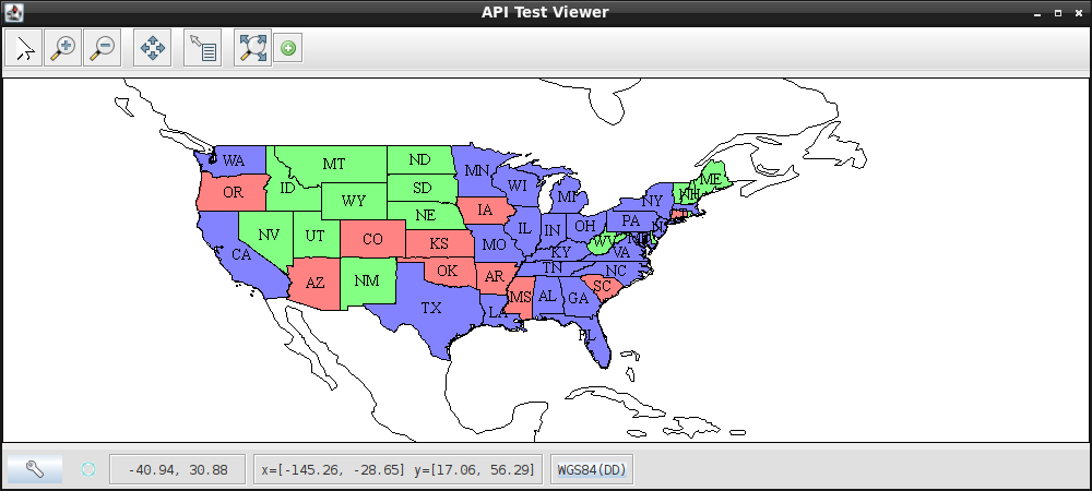
I had originally thought I could help Andrea Aime out in the implementation of the tiles specification in GeoServer, but that turned out to be pretty much finished, so I thought may be I could help out with testing the GeoServer implementation. However, it seemed there was a shortage of portable clients. There were lots of teams there with a client that ran on their machine that could pull in features from a remote server, or large projects such as MapStore , but in those cases the amount of set up was too much for the simple tests I wanted to run. In the end we probably want to build automated tests and such like. Ultimately, this could also be used to allow GeoServer to cascade the new OGC APIs to older clients that hadn’t taken them up yet.
Therefore I decided to start building a simple client in GeoTools based, in part, on the existing WMTS tile client. The first version of this very preliminary of this client code is now merged into the GeoTools master branch. If you need this functionality or just want to have a quick play with a simple client for the OGC APIs feel free to have a play with it. Even better would be PRs that speed it up or fix the UI issues where I do horrible things to the Swing threads! Overtime, I plan to add support for the tiles API as well, which should speed things up a lot.
Feedback on the API specifications
In general the API specification for Features is quite nice to work with, though there is a lot of duplication at some levels. For example, to get the details of a “layer” I need to work through several endpoints to get to key information (like the styles, the names of which I will need if I ever implement tiled maps).